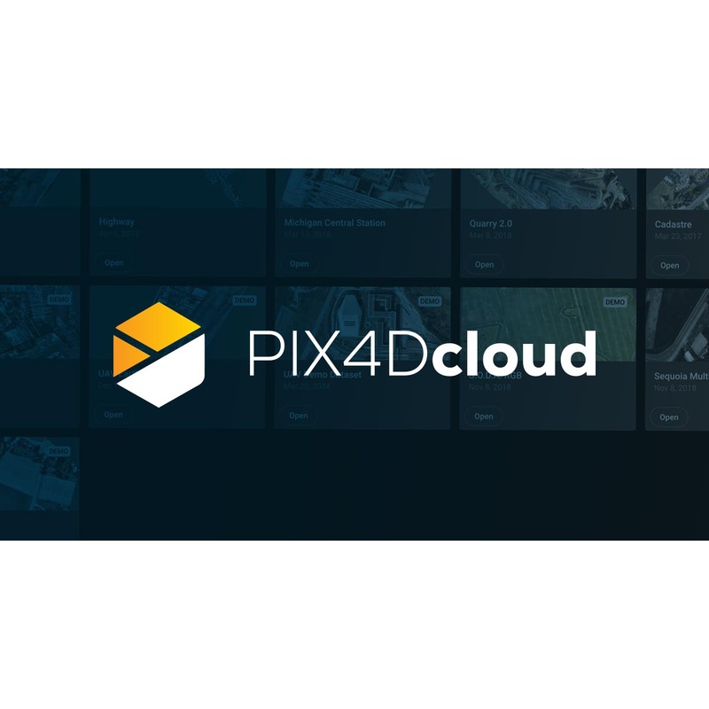
PIX4Dcloud
*All codes are final sale and non-refundable
The online platform for ground and drone mapping, progress tracking, and site documentation.
*Software available in English, German, Spanish, French, Italian, Portuguese, Japanese, Korean, and Thai.
Capture
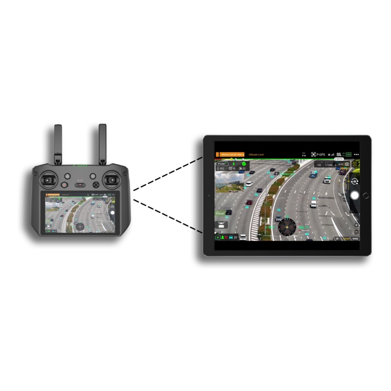
Collect site images using PIX4Dcatch, viDoc RTK rover, drones, handheld cameras or the Pix4D CraneCamera.
ProcessAutomatically process your images on the cloud using photogrammetry algorithms to transform them into measurable deliverables.
Generate accurate and georeferenced orthomosaics, 3D meshes, point clouds, and elevation models.
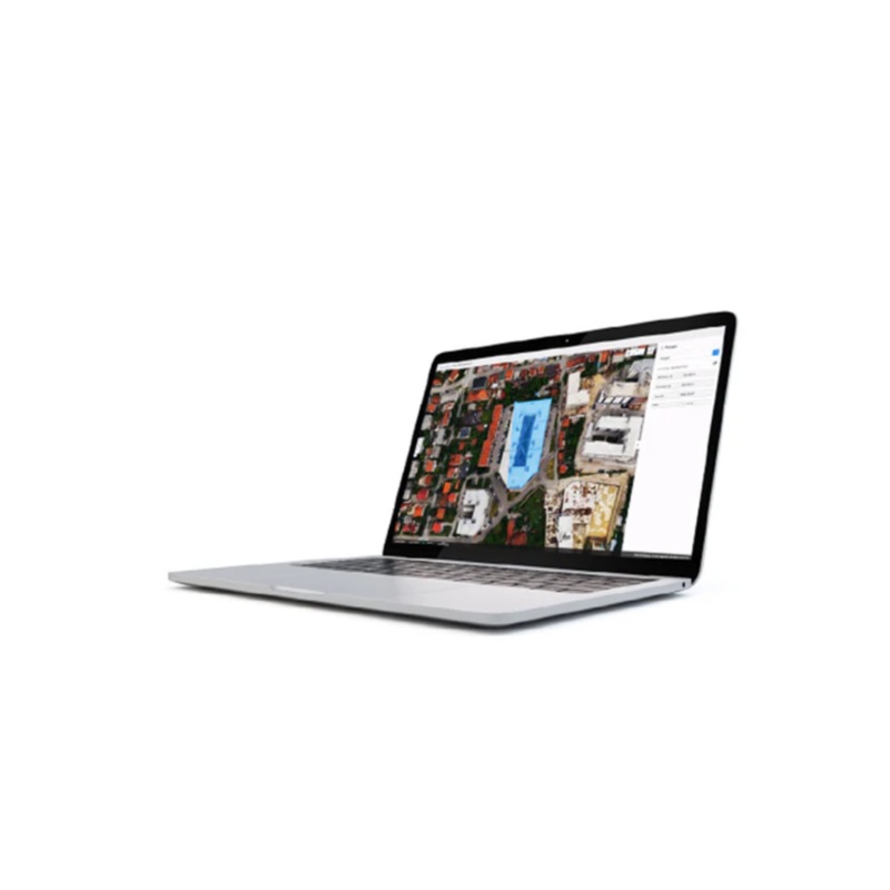
AnalyzeVisualize, monitor and document site progress using an intuitive interface, a timeline, and built-in measurement tools, accessible online from any device or location, on a collaborative cloud-based platform.
ShareWith a simple URL, share the results with your team or clients to ensure seamless information flow and greater collaboration.
IntegrateDownload all outputs and export to third-party CAD and BIM software for further steps.
Professional photogrammetry on the cloud
AccurateresultsRely on Pix4Ds processing algorithms to get the survey-grade results you expect. Choose the AutoGCPs feature for even greater accuracy.
Analysis made easyGet an instant view of any jobsite from anywhere, on your browser, in 2D and 3D, with results you can measure, explore, compare, share and collaborate on.
Up-to-date documentationKeep a permanent and up-to-date record of the project and resolve disputes efficiently.
Map, measure, and document the progress of your site
Improve accuracyBoost your project accuracy with the AutoGCPs feature, automatically marking GCPs without manual intervention.
Timeline analysisVisual timeline of your jobsite for site tracking and project documentation.
Calculate and compare volumesPerform quick and precise volume calculations and compare them over time.
Overlay design plans and mapsCompare the as-built with the as-designed instantly to verify site progress.
Compare image maps over timeCompare two specific days to spot what has changed.Virtual inspectionsRemotely inspect any jobsite from any device or location, just with an internet connection.Measure, annotate and shareMeasure distances, highlight critical elements and share data with your team, clients or stakeholders
Monitor your projects online
Choose the right solution for your needs
PIX4Dcloud
- Create accurate 2D maps and 3D models from images
- Measure distances, areas, and volumes
- Add annotations
- Generate elevation profiles
- Perform virtual inspections
- Share with team and stakeholders
All Features
PIX4Dcloud Advanced
All PIX4Dcloud features, plus:
- Track and document site progress with visual Timeline
- Increase accuracy with AutoGCPs
- Compare volumes over time
- Overlay design plans and maps
- Compare two image maps to see what has changed
All Features
Enterprise
PIX4Dcloud or PIX4Dcloud Advanced interface and features, plus:
- PIX4Dengine Cloud API access
- Custom integration
- Custom storage
- Pay per use
Connect projects to PIX4Dcloud and PIX4Dinspect
We created the PIX4Dconnector app which allows you to upload projects already processed in PIX4Dmapper to PIX4Dcloud and PIX4Dinspect
Download PIX4Dconnector
How companies use cloud-based mapping in their daily operations
Saving the day with as-built drone data and PIX4Dcloud
Drone mapping does not only save time and money, it can also prevent major accidents. Discover how PIX4Dcloud Advanced helped prevent a gas line rupture that could have injured people.
Combining drone surveying with cloud photogrammetry
It’s important to monitor landfill sites, but it’s also expensive. Learn how Sky Grid reduced the surveying cost and time using PIX4Dsurvey and PIX4Dcloud Advanced.
No planes? No problem. Surveying an old airfield
Learn how PIX4Dsurvey and PIX4Dcloud helped the Atlantic City Office of Emergency Management survey the entire site of Bader Field and provide actionable information.
Reviews
There are no reviews yet.