Pix4Dfields | Aerial Crop Analysis for Digital Farming
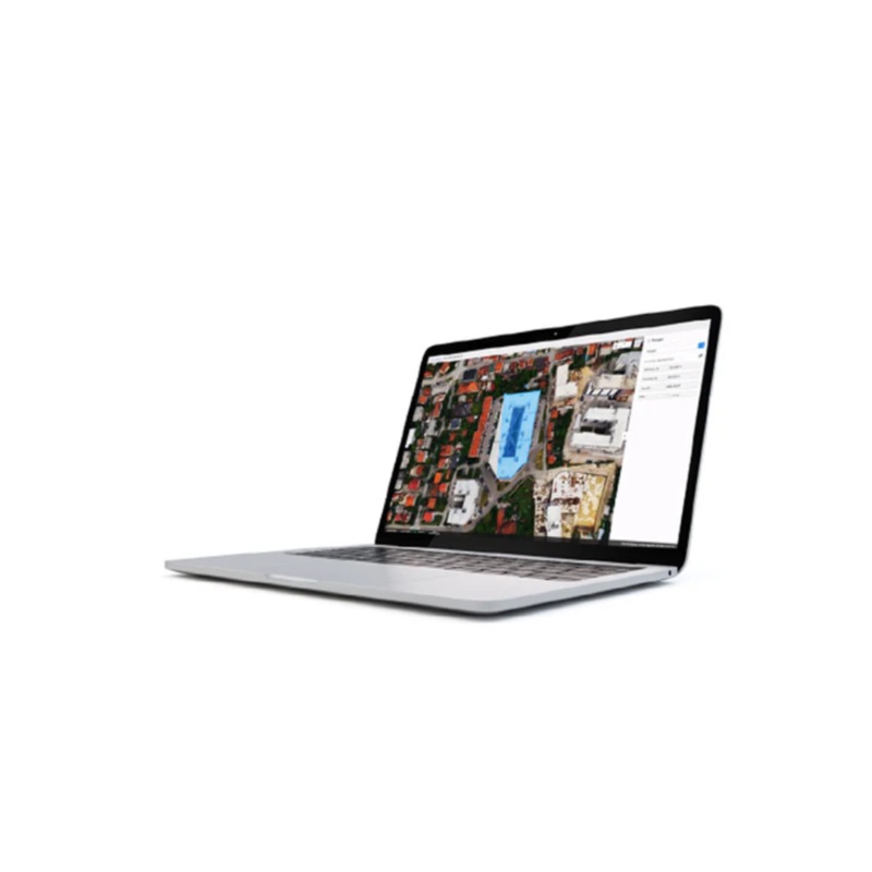
Pix4Dfields is a product built from the input of farmers, agronomists and breeders to give you fast and accurate maps while in the field, with simple yet powerful interface fully dedicated to agriculture. One product for all of your drone-based agricultural workflows.
Applications:
- Crop Protection
- Crop Production
- Insurance
- Farm Management
- Breeding
Key Outputs: aerial views, index maps, zonation and prescription maps


Reviews
There are no reviews yet.